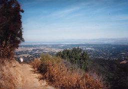
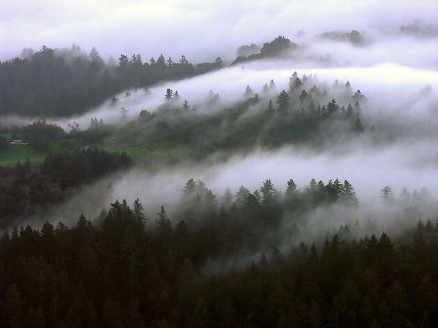
The Lynch Canyon course has about 3000' of elevation gain and that (IMHO) makes it an "Ultra" half. Lynch Canyon is not technical single track on rock strewn and root covered trails, quite the opposite. This race is almost entirely on wide track trails cutting through pastoral grasslands with rolling hills for as far as the eyes can see. Sounds lovely doesn't it! It is a beautiful park but don't be fooled by its beauty. If it is a hot day you will need to have a strategy in place for that because this course is 99% exposed. If I were to describe it, I would say this course is the love child of the Contra Loma Regional Parks and the Marin Headlands with a sprinkling of Mt Diablo. Think steep, hot and super runnable with fast downhills. Chris Abess, the race director for this event described it perfectly to me last year when we were talking just before the start of the race, he said "This course is death by a thousand nicks" and that proved to be the perfect description!